In a groundbreaking collaboration with geologists Bruce Heezen and Marie Tharp at Columbia University, Berann painted the ocean floors — making the invisible visible. Between 1965 and 1978, he created detailed panoramic views of the Atlantic, Pacific, Indian, Arctic, and Antarctic ocean floors for the National Geographic Society and other publishers. The culminating world map of the ocean floor (1975–77) remains one of the most recognized scientific illustrations of the 20th century.
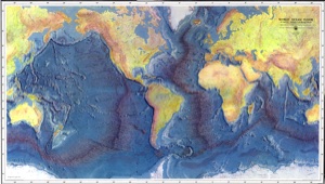
Ocean Floors, World Map
1975-1977
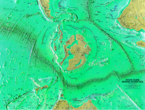
Ocean Floor: Antarctica
1972
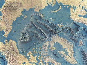
Ocean Floor: Arctic
1971
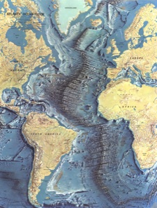
Ocean Floor: Atlantic
1967
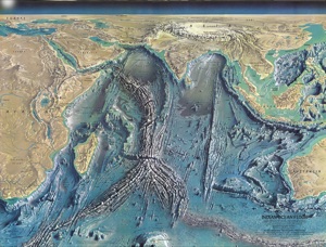
Ocean Floor: Indian Ocean
1965
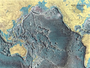
Ocean Floor: Pacific Ocean
1969
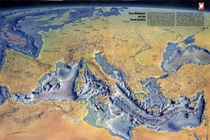
Ocean Floor: Mediterranean
1970
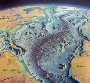
Ocean Floor: North and Central Atlantic
1968
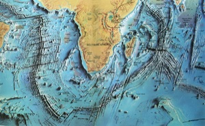
Ocean Floor around South Africa
1970
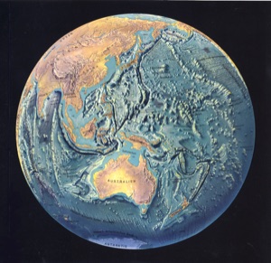
Ocean Floor: Pacific Hemisphere
1969
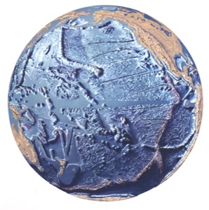
Ocean Floor: Pacific Hemisphere, Version 2
1967
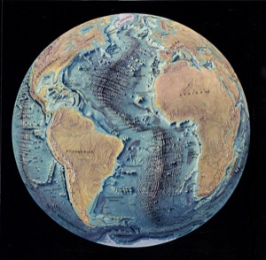
Ocean Floor: Atlantic Hemisphere
1970
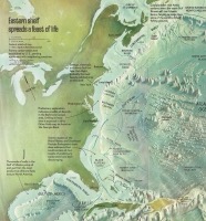
Ocean Floor, North America, Eastern Shelf
1978
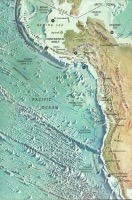
Ocean Floor, North America, Western Shelf
1978